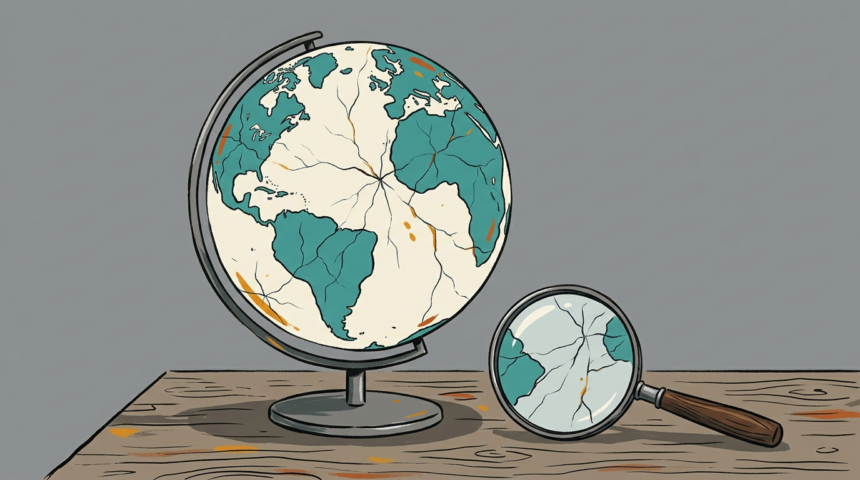
Google switched on generative image creation inside Google Earth on July 30 and pulled it within 24 hours. The episode, documented by Witness associate director Mahsa Alimardani for Rest of World, shows how quickly a trusted verification tool can become a fabrication engine.
The mechanics were simple, which was the point. Pick real coordinates, describe a scene, and the tool layered a photorealistic rendering over live satellite and aerial imagery. Iran gained a nuclear plant, a Gaza hospital gained a bomb crater, and the US Capitol flooded, all within hours.
That mattered because Google Earth has for two decades been the closest thing to ground truth for open-source investigators, the platform where conflict analysts are formally trained. Google pulled the feature and said it would return with stronger guardrails.
The timing made it worse. Since strikes on Iran began in February, authorities and journalists have leaned on commercial satellite imagery to separate fact from fiction, while the US government restricted press access to imagery of the region on wartime grounds, narrowing the supply of real evidence as fakes spread.
Watermarks help only where they exist. AI-generated footage of an explosion at Iran’s Evin prison circulated without one, and Citizen Lab later attributed it to an AI-enabled influence operation. Detection arrived days later; the doubt had already done its work.
Alimardani’s conclusion is that confidence in the visual record is now infrastructure, and that provenance and detection have to be tested before release in the places where the stakes are highest, not retrofitted after an outcry.